
An Amoeba Media product · Pennsylvania Wilds
Trail Sherpa
Community-powered trip planning and offline navigation for multi-day backpacking in the Pennsylvania Wilds. Local knowledge, shared.
- Role
- Product strategy, UX & UI design, brand, engineering, data
- Platforms
- iOS, Android, web planner
- Timeline
- First commit to both app stores in five months (Mar–Aug 2026)
- Stack
- SvelteKit, Capacitor, MapLibre, PMTiles, Supabase/PostGIS, Cloudflare
- 124 hikers signed up in the first months after launch
- 122 trail condition reports posted by the community
- 5 mo from first commit to the App Store and Google Play
- 84% of commits pair-programmed with AI agents, human-directed
The problem
The Pennsylvania Wilds has some of the best backpacking in the eastern U.S. and some of the worst trail information. Hikers plan trips from out-of-print guidebooks, forum threads and Facebook groups, then lose cell signal at the trailhead. Water sources dry up, blowdowns block the trail, campsites move. The people who know these trails best are local volunteers, and what they know rarely makes it online.
From paper to prototype
There was never a Figma file. Trail Sherpa went from paper sketches straight to a working prototype, and the design evolved in code as requirements changed and new ideas came up. Designing in the real medium meant every decision was tested on a real phone with real trail data from day one. Change is the only constant, so we built for it.
Two apps, two jobs
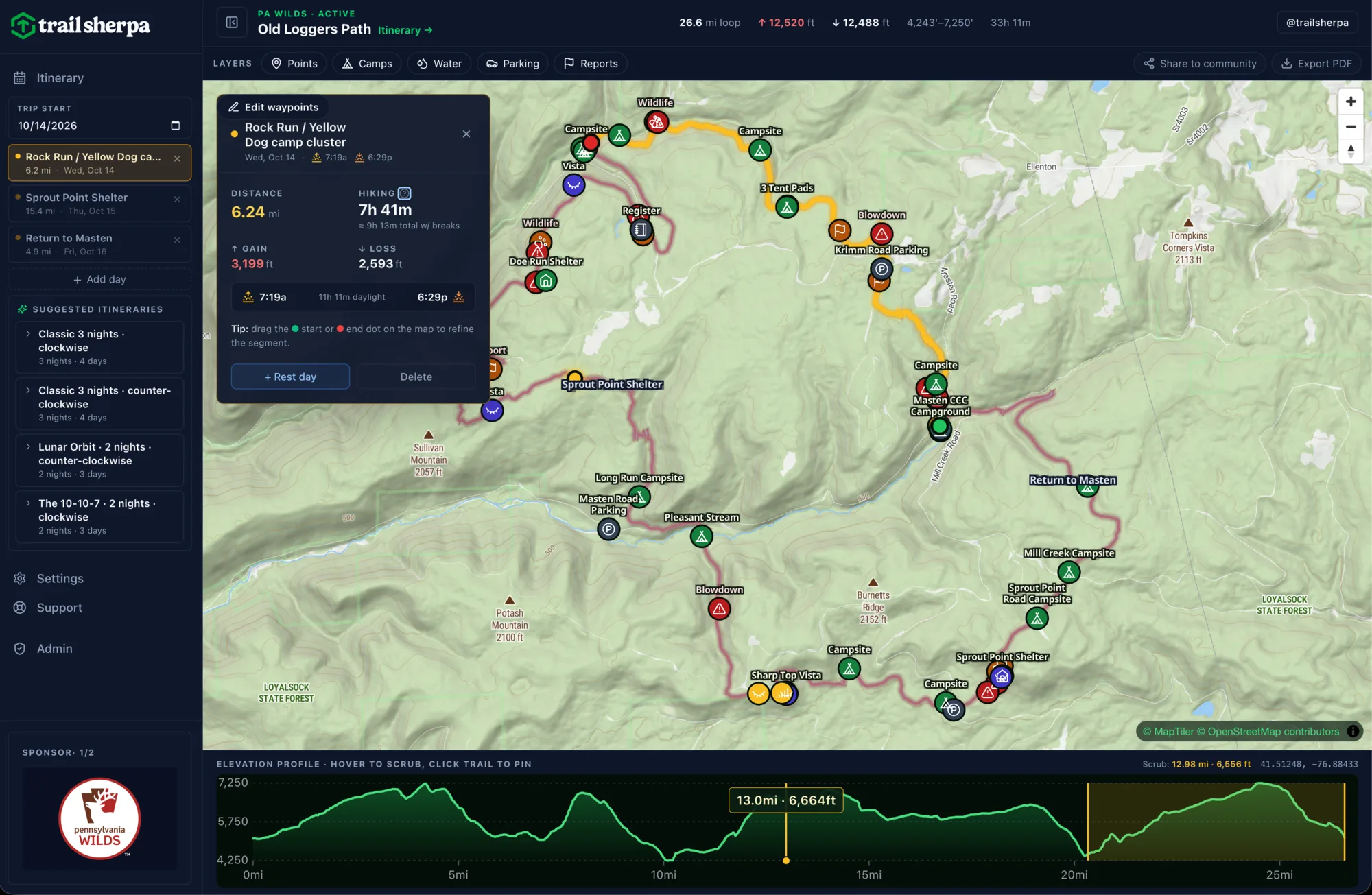
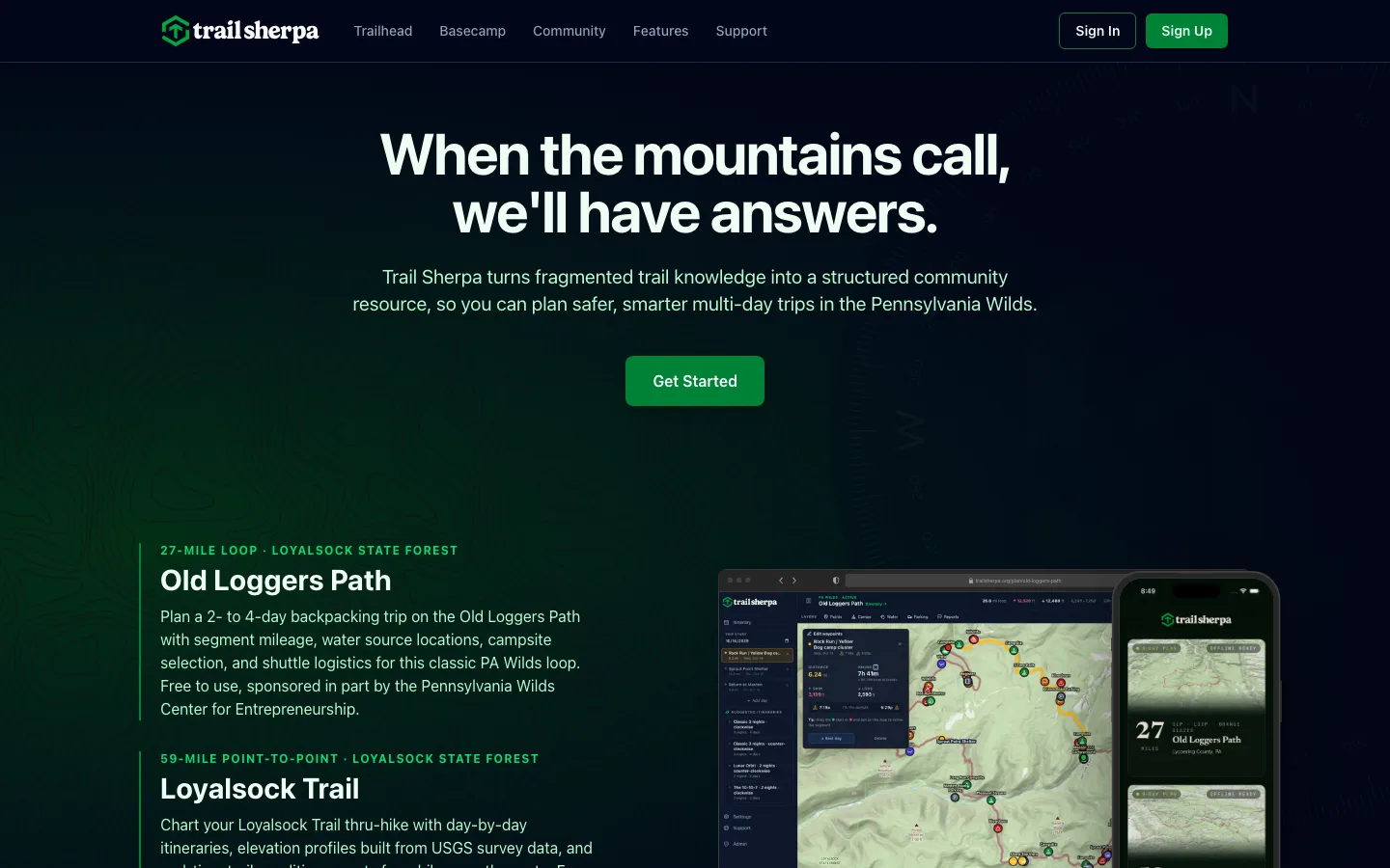
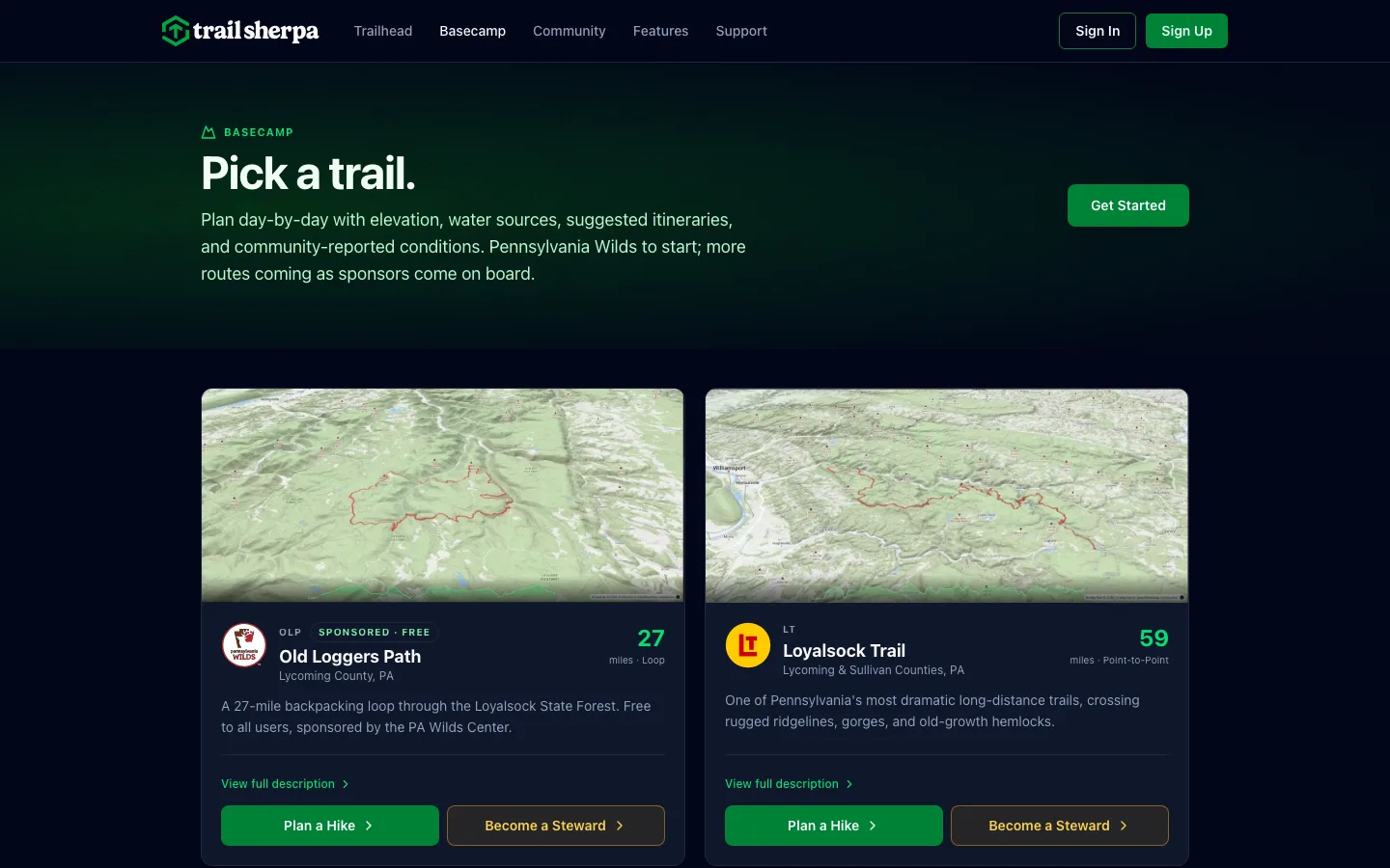
Planning a trip at a desk and following a trail in a valley are different problems. Early on we split Trail Sherpa into two products that share one data layer. The web planner works like a map-room table, with click-to-segment itineraries, elevation profiles, mile markers and ready-made trip templates. The mobile app is built for the trail itself. A marketing site and an admin dashboard round out the product.
Designing a field instrument
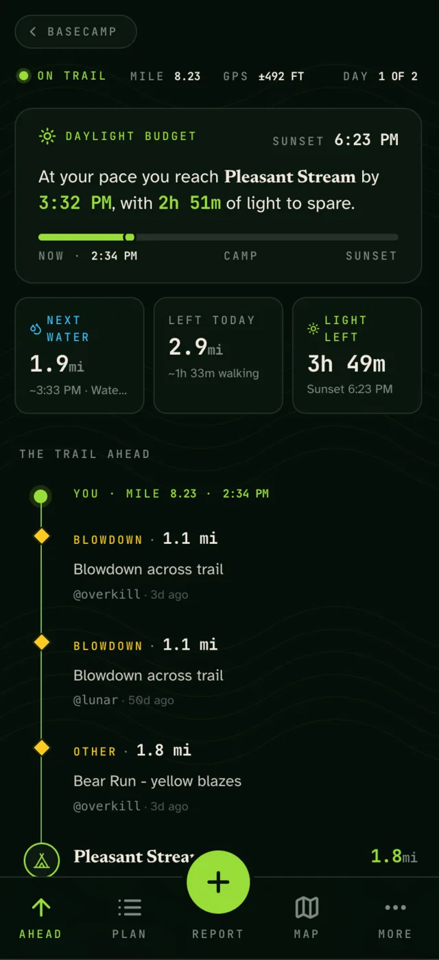
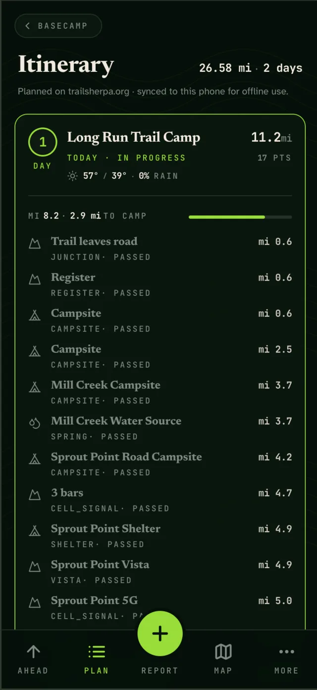
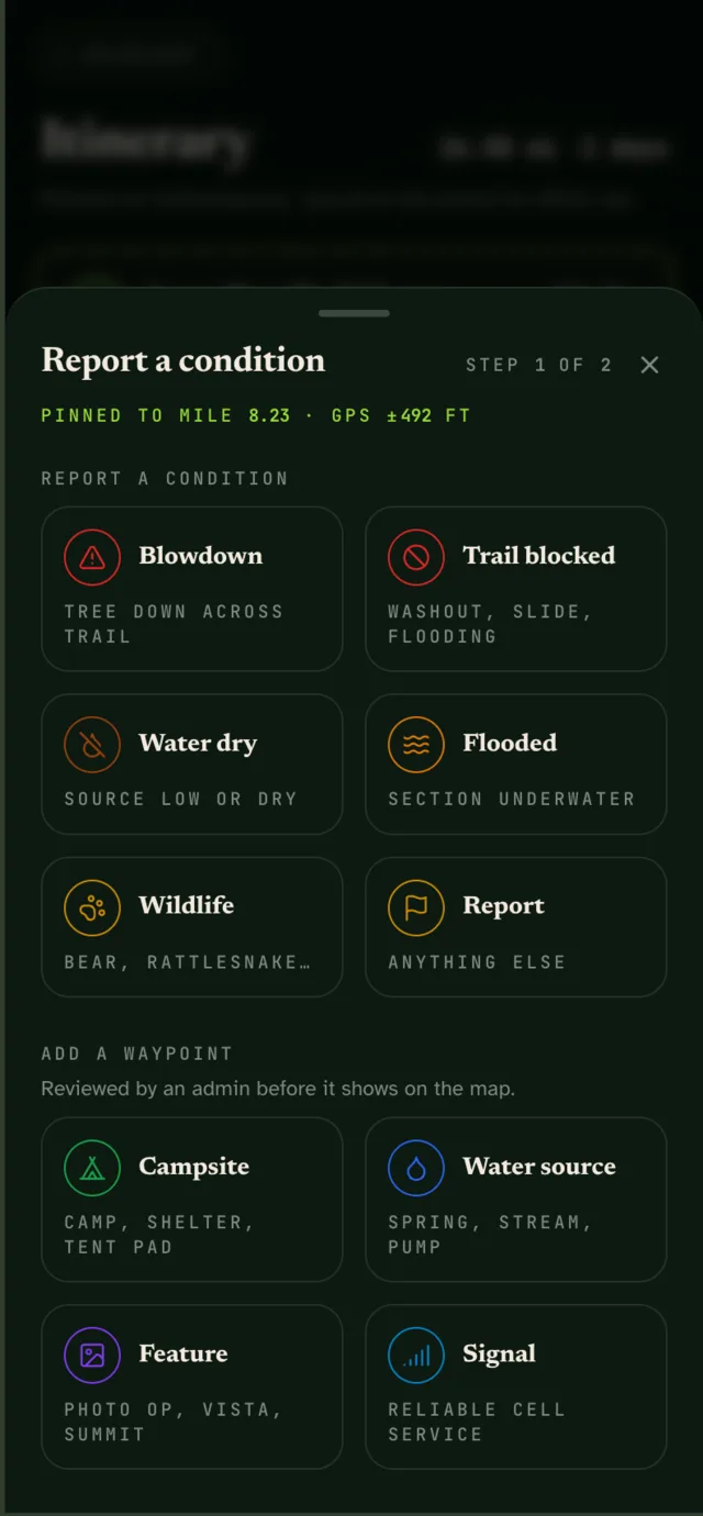
On the trail, a phone is a tool you check in bright sun, with cold hands, while you're walking. So the mobile app doesn't look like the website. It has its own field-instrument design language: a high-legibility typeface built for low vision, tap targets of 64px and up, near-zero motion, and one bright accent color reserved for live readings like GPS. The main screen is meant to be read at a glance. How far to the next water source? How much daylight is left?
Built for no signal
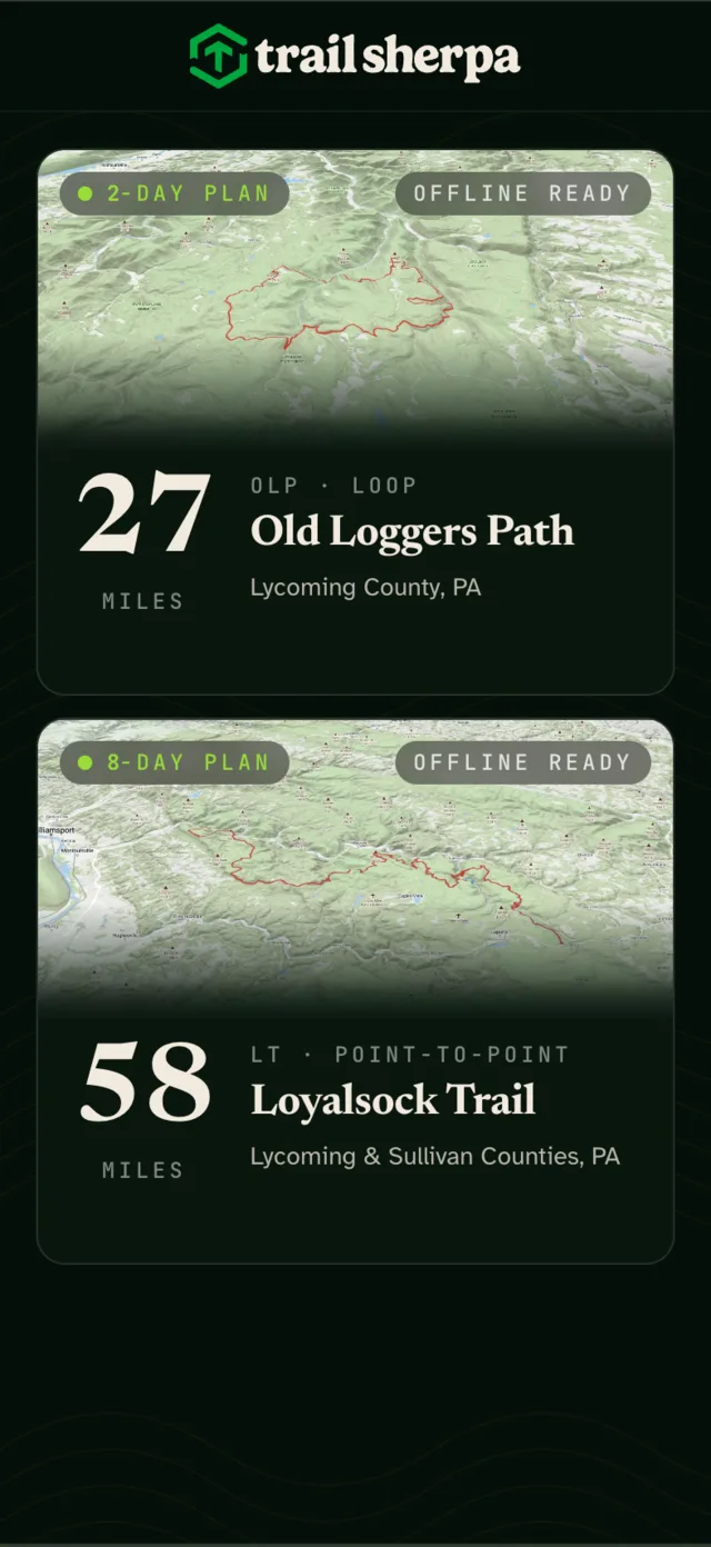
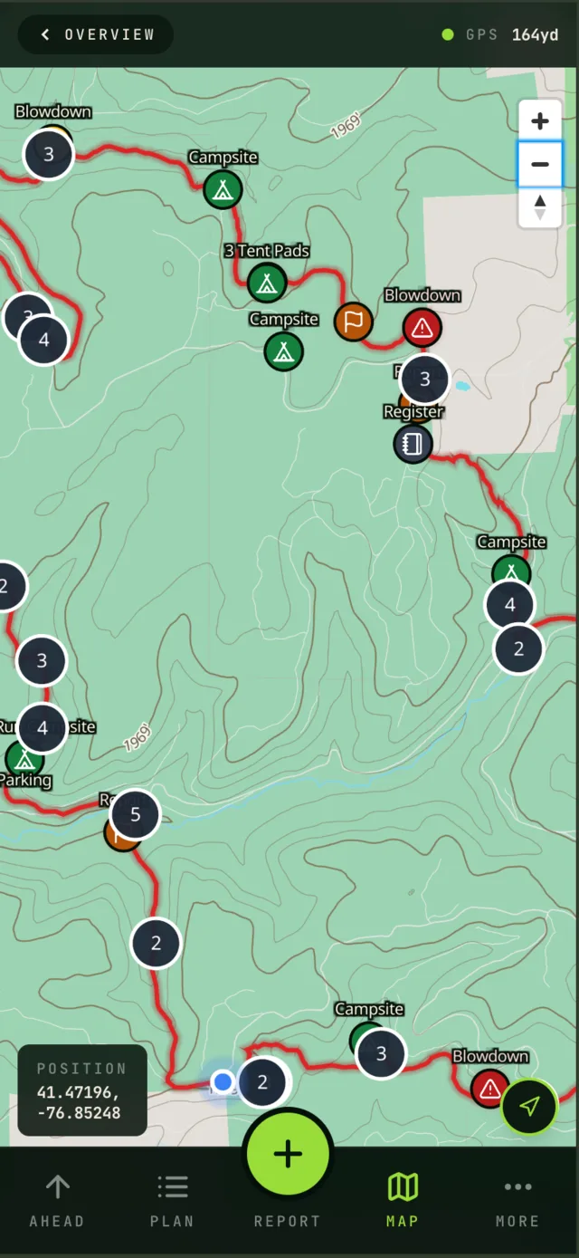
Most of these trails have no cell coverage, so every trail ships as a downloadable pack: vector basemap, elevation and waypoints, about 20 MB for the Old Loggers Path. After field-testing the app on a three-day trip, we rebuilt sync to be fully offline-first. Reports and photos save to the phone and upload when a connection comes back. That change came from walking the trail with the product, not from a spec.
Community without the toxicity
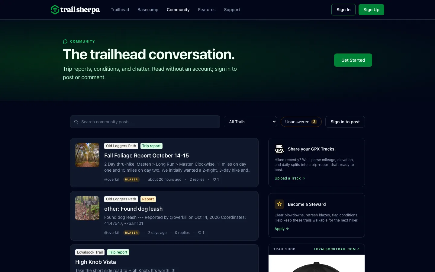
Hikers and trail stewards post condition reports pinned to a mile marker. To keep the community helpful, there are no downvotes. People can like or save a post, and replies nest one level deep so threads stay readable on a phone. Volunteer stewards get notified about the trail segments they maintain.
Measuring what matters
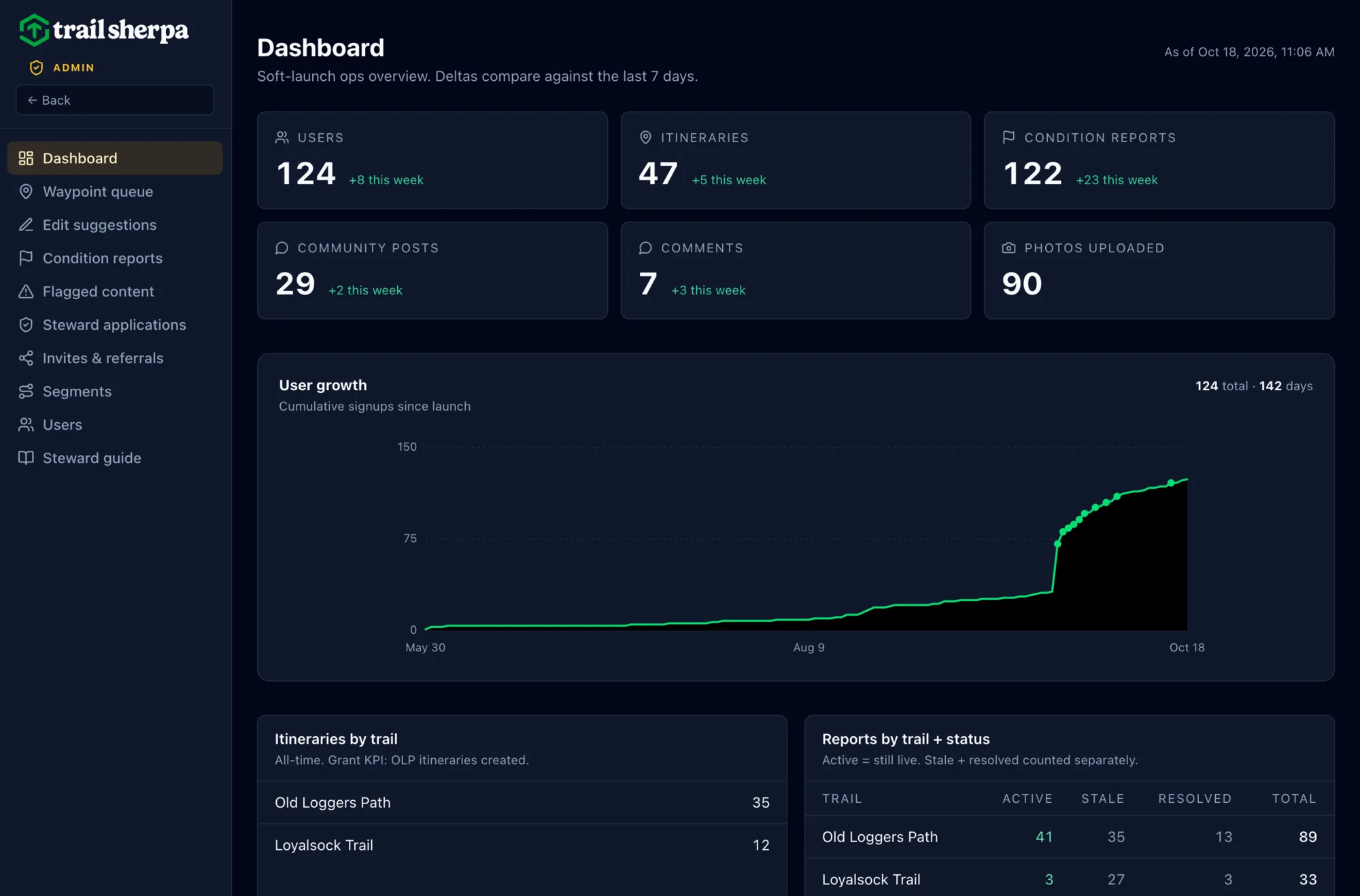
A grant-funded product has to show its impact, so the admin dashboard was designed as carefully as the app. It tracks signups, itineraries per trail (the grant's key measure), and condition reports by status, so stale reports get noticed and resolved. Moderation queues, steward applications and referrals all live in the same place, and the same numbers go straight into reports for our partners.
Agents at work
AI agents worked across the whole project, with a designer making the decisions.
Trail data pipeline
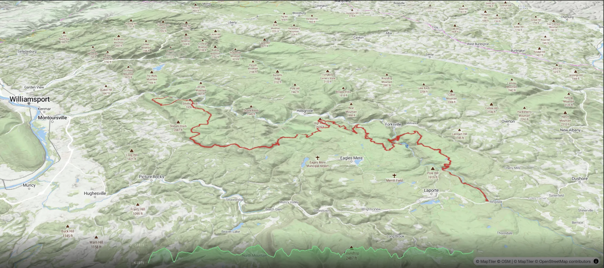
Automated scripts pull trail geometry from OpenStreetMap, add USGS elevation data and run quality checks. Rebuilding the pipeline cut the Loyalsock Trail's mileage error from 8% to 3%.
Paper to points
A 40-page printed trail guide was scanned, OCR'd and turned into 46 classified waypoints, then cross-checked against the guide's printed mile markers.
Human-directed development
84% of commits were pair-programmed with Claude Code agents. That's how a lean team shipped native apps, a web planner and an admin system in five months.
Operations on autopilot
Issue triage, steward notifications, admin reports and weekly community digests run on their own, so the team spends its time on hikers, not housekeeping.
Results
- Live on the App Store and Google Play since August 2026
- By mid-October: 124 hikers, 47 planned itineraries (35 on the Old Loggers Path), 122 condition reports and 90 trail photos
- Supported by a PA Wilds Center Community Engagement Mini-Grant
- Four trails and 156 miles mapped, with roughly 95 waypoints and growing
- A free Old Loggers Path pack for every hiker, with more trails on the way
Special thanks to the Alpine Club of Williamsport, the volunteers who maintain the Loyalsock Trail and Old Loggers Path, for helping spread the word to hikers.